
")
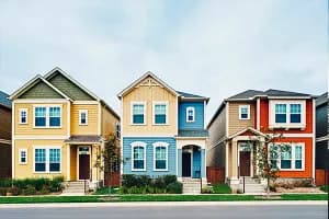


Streets are built by people, but they belong to cars.
Designed to make driving the fastest and most convenient way to get around, many streets around the country were never intended to share the road. Walking, biking and other forms of active transportation are — at best — afterthoughts.
A growing number of cities, counties and states are embracing complete streets policies.
Today the tide is turning as a growing number of cities, counties and states are embracing complete streets policies that try to balance the needs of all modes of travel — whether powered by four wheels, two feet, a pair of pedals or a set of rails — and all types of people regardless of age, ability or socio-economic status.

What started as a trickle when the term complete street was coined 20 years ago has turned into a wave with more than 1,700 state and local jurisdictions adopting various complete street policies. The bandwagon includes the Federal Highway Administration, which encourages jurisdictions to make complete streets their default design standard and helps fund many complete street projects.
“The term complete streets really helped the profession think about the need to make sure all modes are accommodated on every street,” said Jennifer Toole, president of Toole Design, a transportation planning firm based in Silver Spring, Md., with offices across the country. “Today … if a street project doesn’t include pedestrians and bikes, it’s notable in their absence, and it’s really pretty much ignoring all the federal guidance that has come out about roadway design in the past 20 years.”
The first rule of real estate also comes into play.
“The old adage location, location, location. What you’re really talking about is transportation,” said Russel Riggs, senior policy representative with the National Association of REALTORS® (NAR).
“Location means in a good place that allows you to get to places easily and quickly and efficiently,” he explained. “This idea of complete streets is about … making sure all methods of transportation are connected and you have the ability to move safely and quickly from Point A to Point B, whether it’s on your feet or on your bicycle or in your car or in a mass transit system.”
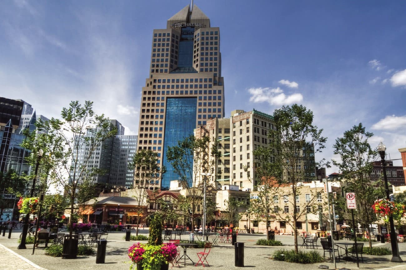
While complete streets as such are not necessarily top-of-mind when choosing a place to call home, they can be a difference-maker to a sizable group who recognize that active transportation is a healthier, less expensive and more environmentally friendly way to get to daily destinations than cars.
“There is a growing cohort of buyers … who are looking for a more walkable experience, places that they can go to easily or get to easily on foot or on bike or perhaps take some form of mass transit,” Riggs said.
Results from this year’s National Community and Transportation Preferences Survey from the NAR show the desire for walkability — the cornerstone of complete streets — ticking steadily upward based on the tradeoffs people said they would make.

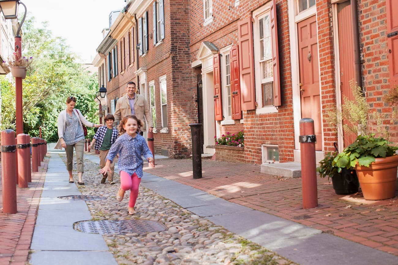
The majority of survey respondents (56%) said they would trade a house with a large yard for a house with a small yard if it meant they could walk to more places instead of driving. That’s up from 49 percent in 2015.
More than half of all respondents (53%) also said they would rather live in an apartment or townhome rather than a detached single-family home if it meant living within an easy walk to shops and restaurants and a shorter commute. That’s up from 45 percent in 2015. When sorted by age group, nearly seven out of 10 members of Gen Z favored the more walkable option in this year’s survey.
The number of people who would be willing to pay more to live in a walkable neighborhood inched from 60 percent in 2017 to 61 percent. Gen Z and millennials were by far the most likely age groups to say they would spend more for walkability. Roughly 90 percent said they would pay more to live in a walkable community. A third said they would pay a lot more.
The ability to easily walk to shops, parks and other destinations was important or very important to roughly eight out of 10 respondents.
The ability to easily walk to shops, parks and other destinations was important or very important to roughly eight out of 10 respondents. Walkability ranked ahead of size of house, quality of schools, size of yard and length of commute as important factors when considering a new home. Low levels of crime ranked first.
Although those who said they like walking (79%) and driving (70%) remained virtually unchanged from 2015, those who said they liked biking dipped to 48 percent from 54 percent while the number of people who liked taking trains and buses rose to 44 percent from 36 percent.

Those who agreed they drive because they don’t have many options held relatively steady at 59 percent. However, there was a spike in the number who said safety concerns prevented them from walking. Nearly 40 percent said they don’t feel safe because of traffic compared to 26 percent in 2015. Roughly the same number said they don’t feel safe because of crime.
Making walking and biking safer after decades of catering to cars is at the heart of complete streets. “A lot of the newest strategies … are around slowing vehicles down,” Toole said. “It’s a win-win for drivers, for pedestrians, for bicyclists to have vehicles going slower.”
The number of people struck and killed while walking rose by 62 percent between 2009 (4,109) and 2020 (6,529), according to a 2022 report published by Smart Growth America and the National Complete Streets Coalition.
The report, titled “Dangerous by Design,” blames traffic speeds, but argues that lower speed limits and strict enforcement won’t slow traffic enough to solve the problem. The answer is to recognize that many urban arterials that were built for local traffic were designed the same as restricted access highways that were built for speed.
“When roads are wide and straight, lanes are wide and plentiful, and intersections are infrequent or non-signalized, people feel safe and comfortable driving faster — even when the speed limit is low,” the report states. “We send drivers two conflicting messages with low speed limits but designs that nudge them toward high speeds.”
Except for freeways and limited access highways, it’s “impossible to prioritize both safety and keeping cars moving quickly … on every other street where there are … people walking biking or otherwise getting around outside of a car, safety and speed are fundamentally incompatible goals.”
The report cites Union Avenue in the heart of Memphis as a poster child for the type of road that could use a complete street makeover. Though the speed limit ranges from a mere 25 to 35 mph, the road is long and straight with clear sight lanes and five lanes, inviting motorists to drive much faster.
Although other streets regularly intersect Union Avenue, many of these intersections lack crosswalks or traffic signals because keeping vehicles moving freely is a higher priority than providing frequent crossings. In addition, gently rounded corners allow right turns at high speeds — even though pedestrians have the right-of-way — and increase the distance needed to cross on foot.
Traffic speeds aren’t Union Avenue’s only red flag. Crosswalks are spaced far apart and sidewalks are narrow with frequent curb cuts for turns and driveways and no barrier between pedestrians and vehicles. With numerous destinations including grocery stores, a college, a high school, a hospital, shops and apartments, the street generates heavy foot traffic that is in constant conflict with a river of cars.
Although the transformation is not always easy, hazardous streets like Union Avenue can be made more welcoming for all users through addition but also subtraction. The equation varies based on the community (urban, suburban, rural) and the context (downtown, commercial strip, transit corridor, neighborhood main street, residential) but the goal is always a more complete street.
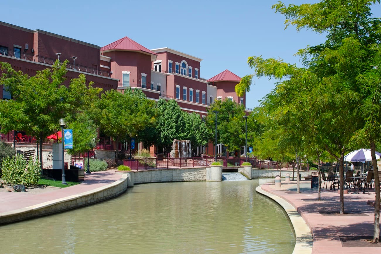
The additions can be as basic as sidewalks, crosswalks and bike lanes but can also include: barriers separating traffic from sidewalks and bike lanes; flashing beacons alerting drivers that someone is entering a crosswalk; parking lanes that shield sidewalks and bike lanes; curb extensions at the mouth of intersections; dedicated bus lanes and shelters; bus bulbs (curb extensions that serve as bus stops); pedestrian refuge islands; chicanes (slight curves in the road that slow traffic); and landscaping buffers.
But all this addition often requires some subtraction. Transforming a conventional street into a complete street is typically a zero-sum game in which the needs of all users must vie for space within a fixed right-of-way.
A road diet is one formula for creating a complete street.
A road diet is one formula for creating a complete street. It typically involves converting an existing four-lane roadway segment to a three-lane segment consisting of two through lanes and a center turn lane. By eliminating one lane and limiting the width of the others to 10-11 feet, a road diet prods drivers to take their foot off the gas and makes room for features that make walking, biking and other forms of active transportation more appealing.

Toole Design applied that tactic to transform Jackson Street in downtown St. Paul into a complete street that makes biking and walking safe and comfortable for all users. The project involved a full reconstruction of the roadway that reduced the number of lanes to two from three and created a sidewalk and two-way bike lane separated from traffic by an attractively landscaped buffer.
While the tactics for creating complete streets are well known, executing those tactics can be easier said than done. “We have a lot of streets that are very unsafe and unfriendly and fixing them costs a lot of money, but it’s also about attitudes,” Toole said. “Sometimes making sure a pedestrian or bicyclist is safer means giving something up because we don’t want to just make streets wider and wider and wider. Sometimes that means tradeoffs.”
Not to be overlooked in complete street plans are transit and trails. Although they may or may not be directly incorporated into a complete street project, transit (primarily in the form of rail stations) and trail links expand regional connectivity and support development that reduces reliance on cars.
Complete streets and TOD go hand-in-hand.
Complete streets and transit-oriented development go “hand in-hand,” said Andy Kunz, president of the Transit-Oriented Development Institute. Transit-oriented development is all about creating walkable mixed-use communities that incorporate complete streets to make them viable places to live and work without a car.
“To get real TOD, you want to design a place with everything — shopping, hotels, offices, residential — and you have the rail as the default (for traveling outside the community) rather than hopping in a car, which is the current default,” Kunz said.
What can be done to spur TOD?
“The cities can take the initiative to prepare and create TOD zones [so that] developers don’t have to endure five years of brain damage to try to change the zoning,” Kunz said.
That’s what Denver did when it began developing its light rail system. As they selected each station site, Kunz said, they proactively changed the surrounding zoning to allow mixed-use, higher density development served by complete streets so that as projects are completed one building at a time, they eventually create a series of TODs.
Trails can also be an important complement to any complete street system. Even in places with sidewalks and bike lanes, “The concept of walking or cycling with traffic right there just scares the bejesus out of [some] people, so the opportunity for off-street trails to augment the transportation system opens things up to a much broader spectrum,” said Mike Passo, executive director of American Trails.
Similar to the transformative potential of transit, trails can also spur development based on their ability to provide the active transportation alternatives that many people seek.
The Ludlam Trail in Miami is a stellar example. Built within a former rail corridor, the 5.6-mile landscaped trail provides dedicated pathways for biking, walking and running that connect users to schools, parks, transit and several large residential and mixed-use projects in various stages of design and construction.
The National Complete Streets Coalition keeps tabs on both the strength and the outcomes of newly introduced complete street policies across the nation.
The coalition’s latest Complete Streets Policies Report contains good news and bad news about more than 150 policies rolled out between 2019-2022. Although the average score rose by five points over the previous report, plenty of room for improvement remains. Rated on a 100-point scale, the average score was just 45.
The silver lining is that the average score among the top 10 policies jumped dramatically from 72 to 89 with one jurisdiction — Howard County, Md., earning the maximum 100 points based on 10 standards that give extra weight to policies with teeth, including a binding commitment to supporting complete streets, a plan to create them and a mechanism to measure their progress.
Like many areas around the country, once rural Howard County has evolved into an epicenter of urban and suburban growth. Yet its transportation network reflected decades of catering to cars when the county began developing its complete streets policy in 2016.
Adopted in 2019, the policy is supported by a complete streets design manual approved in 2022, paving the way for the county to begin planning, designing and constructing a host of projects.
One of the things that make Howard County’s complete streets policy stand out is its commitment to equity and community engagement. The policy pinpoints areas and populations with reduced access to active transportation infrastructure (sidewalks, bike lanes, etc.) based on income, race, disabilities and other factors — ensuring the county will give priority to historically underserved communities. In addition, the county consistently collected input from all segments of the community — ensuring the policy reflects the lived experience of residents and not just the technical expertise of planners and engineers.
“As strong as a policy can be, if it’s not actually changing the community and serving all of those who live in the community, it’s not an effective policy,” said Heidi Simon, director of Thriving Communities for Smart Growth America.